Kartografické modelování
Hydrology - Spatial Analyst toolbox
- veškeré info o nástrojích v ArcMap najdete na ArcMap tool references
- vše ostatní najdete na GIS Stack Exchange atd.
I. Hydrology
- I.A Fill
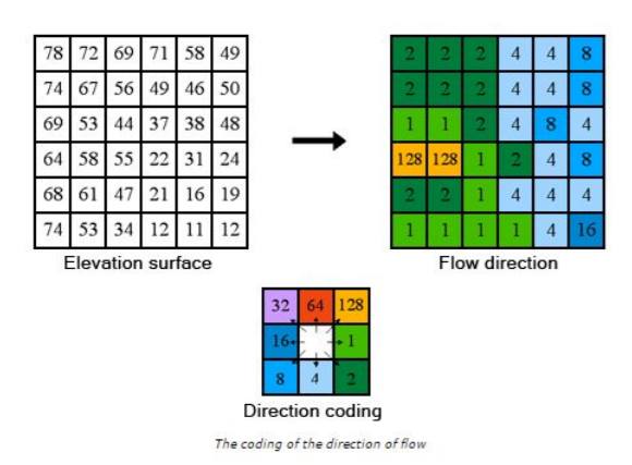
- I.B Flow Direction
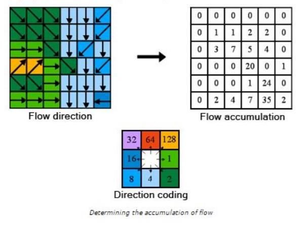
- I.C Flow Accumulation
- I.D Flow Lenght
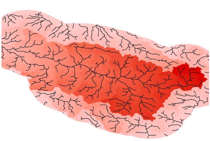
- I.E Basin
- I.F Stream Order
- I.G Stream to Feature
- ...
Fill
Flow Direction
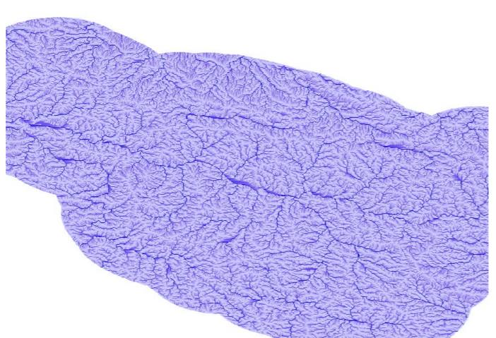
Flow Accumulation
Vstup:
- flow direction raster
- weight raster
Flow length
Vstup:
- flow direction raster
- direction measurement - upstream/downstream
- weight raster
Basin
Vstup:
- flow direction raster
Stream order
Vstup:
- "očištěný" raster s vypočítanými toky (pouze toky mají hodnotu, ostatní buňky jsou null)
- flow direction raster
Další příklady hierarchizace toků:
Stream to feature
Alternativa k Raster to Polyline


